DAIRY CREEK MITIGATION BANK
The First Modern Stream Bank in Oregon!
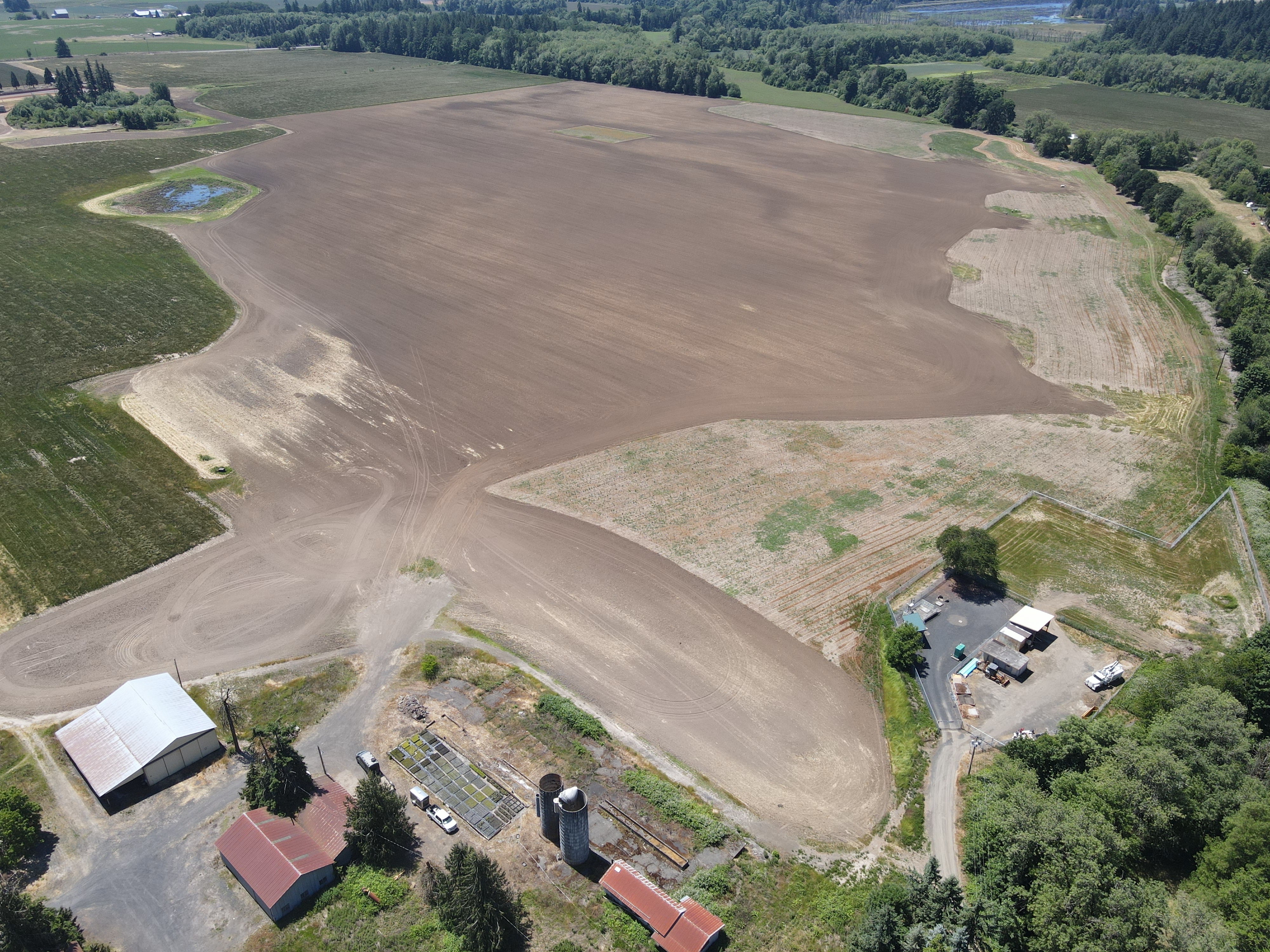
The Dairy Creek Mitigation Bank (DCMB) is a 132-acre wetland and stream mitigation bank located in Banks, Oregon. The DCMB is located in a low-elevation floodplain area and includes approximately 2,000 feet of the West Fork of Dairy Creek. The land has been in agriculture for more than 100 years, and the historic wetlands have been drained by artificial ditches and drain-tile.
The DCMB is an excellent opportunity for ecological restoration as it was historically a forested wetland complex and is directly adjacent to Oregon Metro’s 600-acre Killin Wetlands Nature Park. The reach of the West Fork of Dairy Creek that flows through the DCMB is severely degraded, with eroding streambanks and artificial debris such as concrete, armoring its banks. The DCMB restoration project will restore the historic hydrology of the wetlands and enhance the aquatic habitat of the West Fork of Dairy Creek. The DCMB also includes the creation of approximately 4,500 linear feet of intermittent stream channels through the project area. These newly created channels will provide high-quality aquatic habitat to threatened and endangered aquatic species such as the Upper Willamette River Steelhead.
The DCMB will generate approximately 87 wetland mitigation credits. The Cowardin vegetation classes include: Palustrine Emergent (PEM), Palustrine Scrub-Shrub (PSS), and Palustrine Forest (PFO) wetlands. The Hydrogeomorphic Classification (HGM) of the wetlands are Riverine and Slopes/Flats.
The DCMB will generate over 5,000 linear feet of intermittent and perennial stream mitigation. The stream mitigation is designated as Essential Salmonid Habitat (ESH) by the Oregon Department of Fish and Wildlife.
For more information about the project or to purchase mitigation credit, please contact C. Jonas Moiel at jonas@greenbanksllc.com
| Wetland Credit Summary | Type | Credits (acres) |
|---|---|---|
| Palustrine Emergent (PEM), Palustrine Scrub-Shrub (PSS), Palustrine Forested (PFO); Riverine, Slope/Flats | PEM, PSS, PFO, Slopes/Flats, Riverine, Riverine Impounding |
87 |
| Perennial and Intermittent Stream | PEM, PSS, PFO, Slopes/Flats, Riverine, Riverine Impounding |
5,000 linear feet |